24x7 Services
A wonderful solution through which you can manage and track all your fleets and assets.
Cost Savings
Our tracking solution helps you manage all your needs remotely easily so you can save a lot of money through our system.
Global Tracking
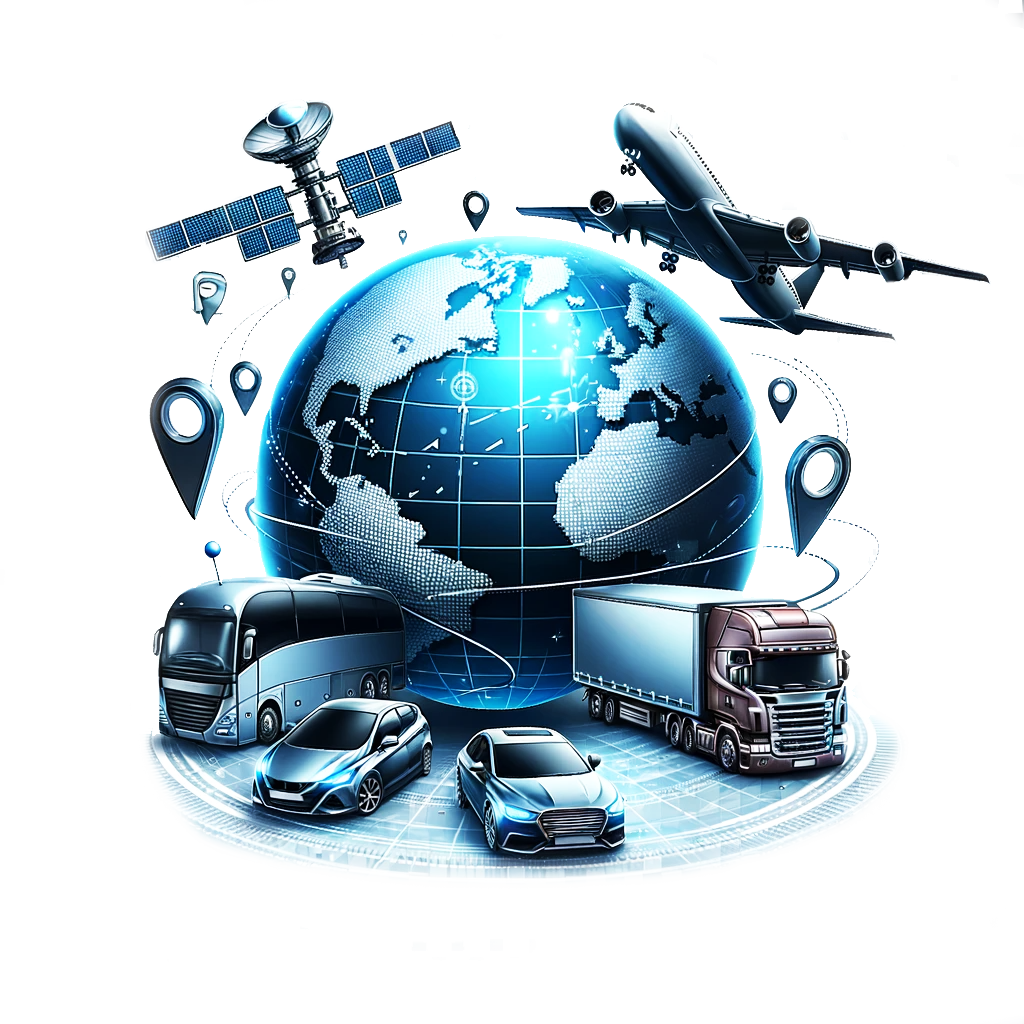
A wonderful solution designed for everywhere on the globe. All countries, one platform.
Don't Miss a ThingWhy GeoMapiz?
Inbuilt Battery & Memory Performance of 99.9%
"Consistency of performance is essential"
60 Days History Backup
"Records management is knowing what you have,where you have it and how long you have to keep it"
Over 60+ City Locations Worldwide
"Where there is weak wifi spot even there you will find our tracking solutions and network"
View Real-time Location
"It's a huge competitive advantage to see in real time what's happening with your data and assest"
One Click Engine On/Off
"Every problem has in it the seeds of its own solution"
Driver Behaviour & Safety Management
"A satisfied customer is the best business strategy of all."
What We DoOur Services
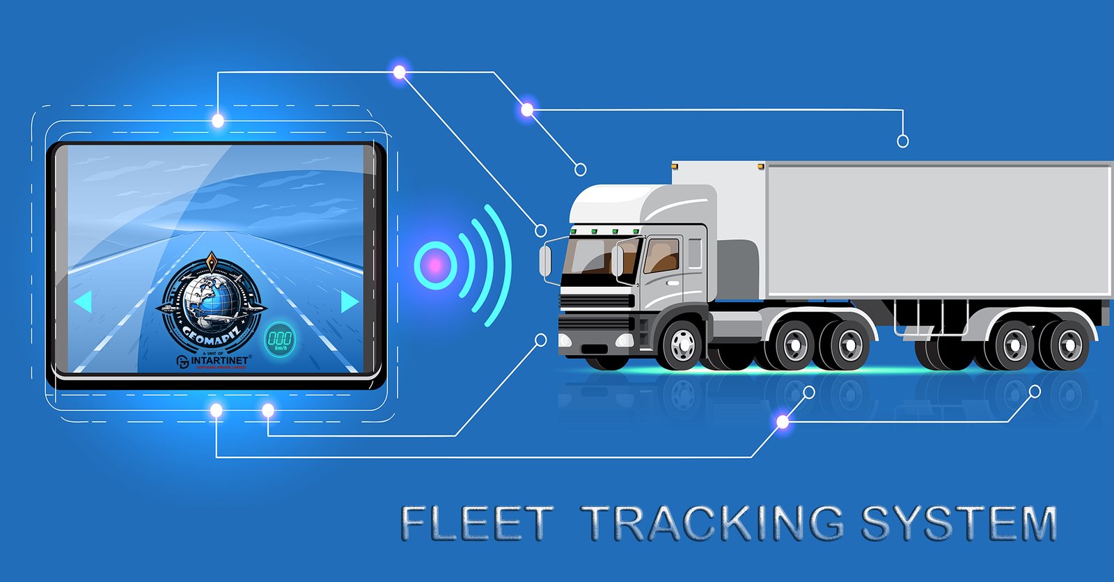
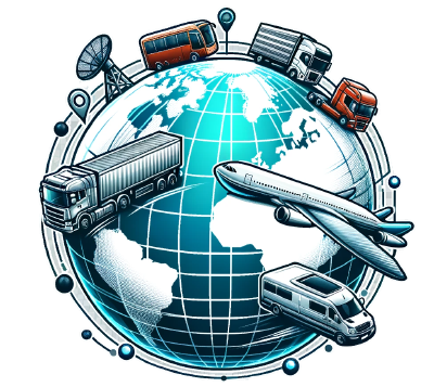
Fleet Tracking Solutions
Fleet tracking solutions are advanced systems designed to monitor and manage vehicle fleets in real-time. Utilizing GPS technology, these solutions provide accurate location data, enabling businesses to optimize routes, reduce fuel...
Read More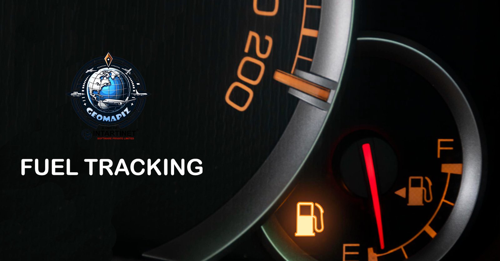
Fuel Tracking Solutions
Fuel tracking solutions are crucial for businesses managing vehicle fleets, aiming to optimize fuel usage and reduce costs. These systems monitor fuel consumption in real-time, integrating data from fuel cards and vehicle sensors...
Read More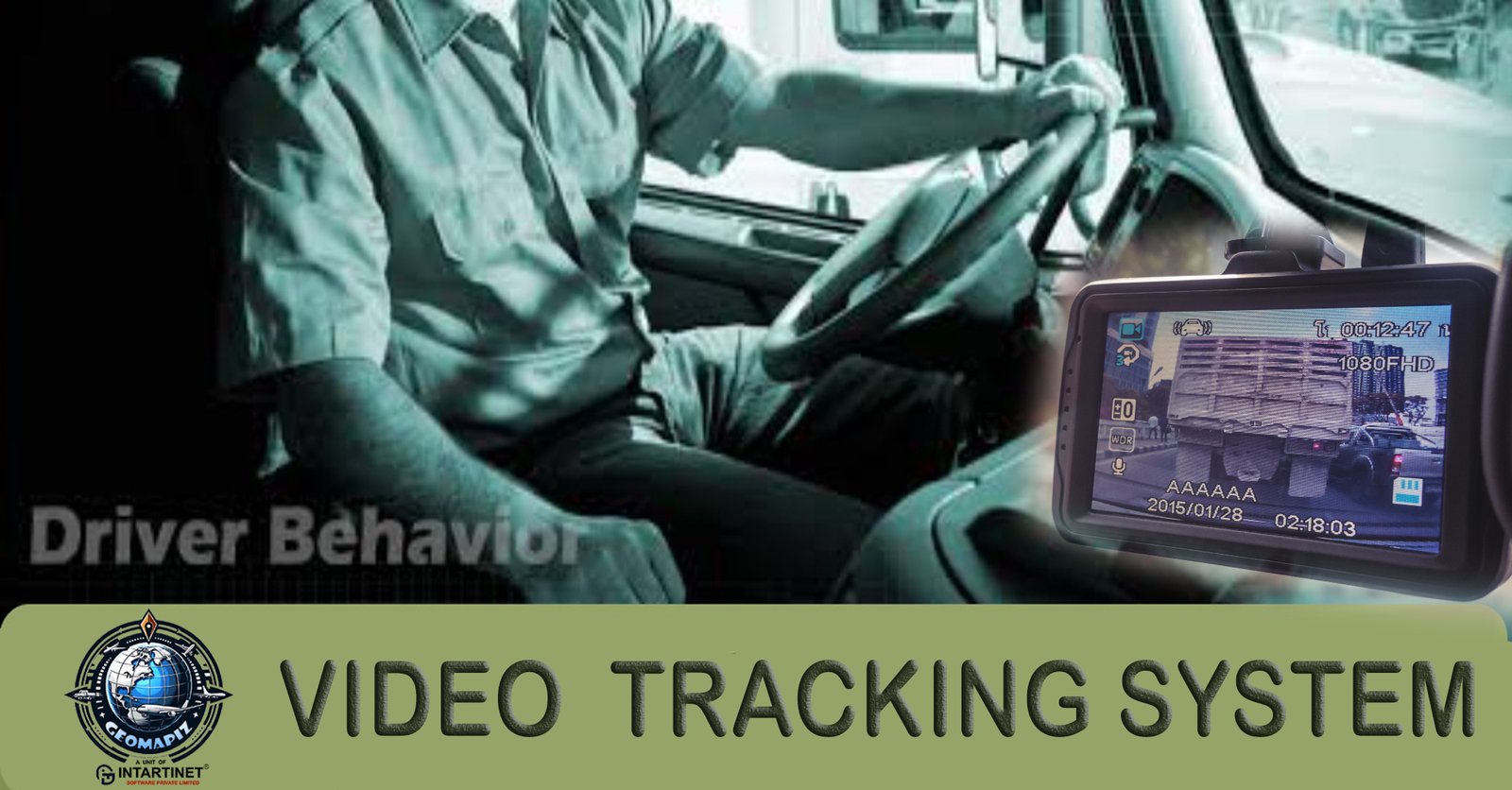
Video Tracking Solutions
Fleet video tracking solutions incorporate video cameras and monitoring systems into fleet management to enhance safety and operational oversight. These systems use dash cams and other onboard cameras to record continuous..
Read More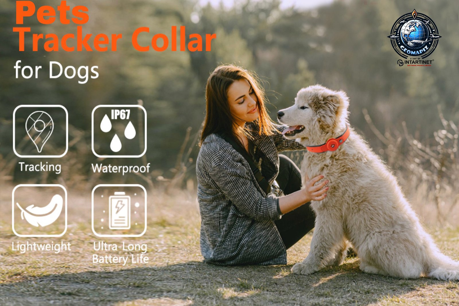
Pets Tracking Solutions
Pet tracking solutions are designed to ensure the safety and security of pets by utilizing technology to monitor their locations and activities. These systems typically involve a GPS-enabled collar or tag that pets wear, which sends real-time location data to a smartphone app or computer...
Read More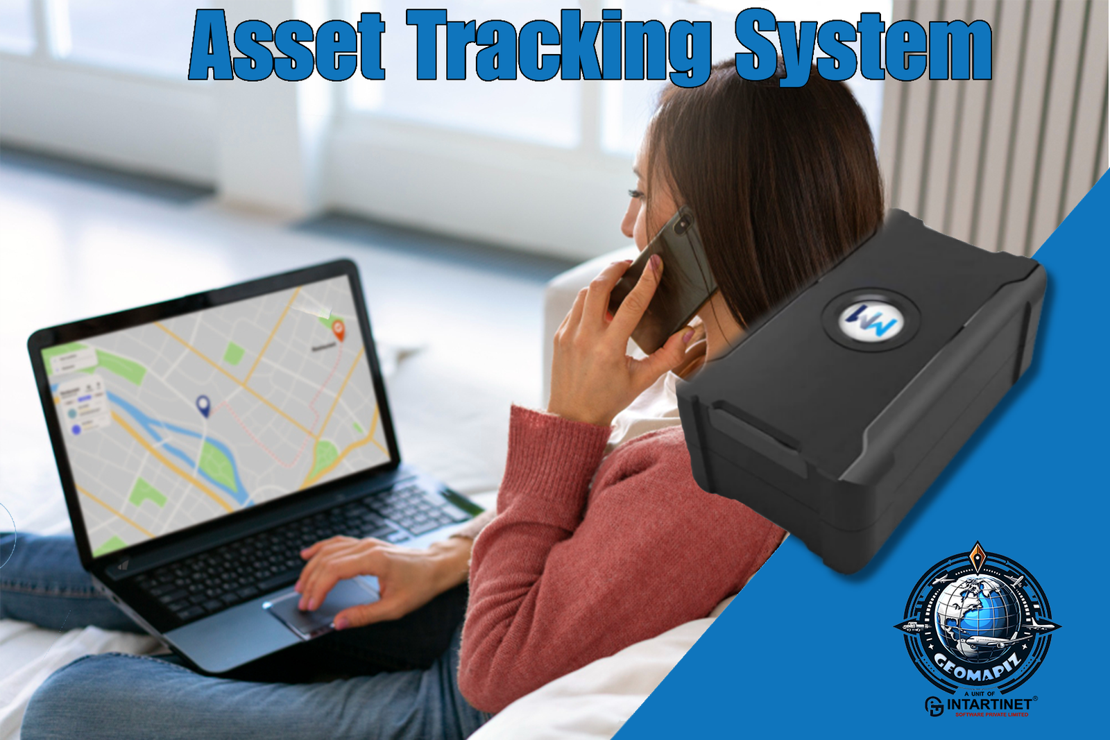
Asset Tracking Solutions
Asset tracking solutions are systems used to monitor and manage the location and status of various assets within a business or organization. These solutions employ technologies like GPS, RFID (Radio Frequency Identification), or BLE (Bluetooth Low Energy) to track everything from..
Read More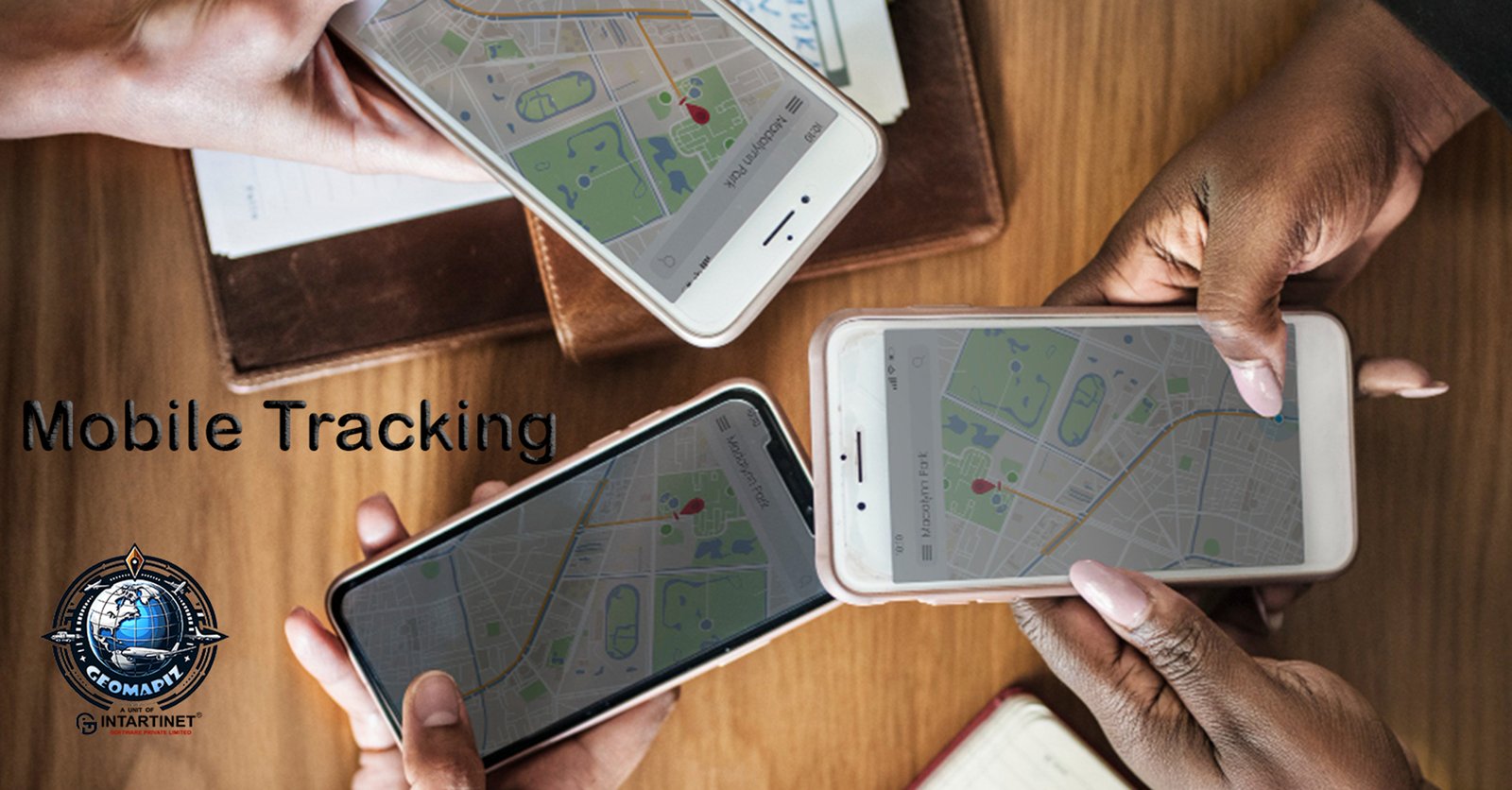
Mobile Tracking Solutions
Mobile tracking solutions refer to systems designed to monitor and manage the location and activities of mobile devices such as smartphones, tablets, and laptops. These solutions are widely used in both personal and corporate contexts. For individuals, mobile tracking can help locate..
Read More7+ Years Experience in GPS Navigation Field.
5
Office Worldwide
9999999
+ KM Per Year
100000
+Number of Trips
Our FAQ Frequently Asked Questions
Global Positioning System, is a global navigation satellite system that provides location, velocity and time synchronization. GPS is everywhere.You can find GPS systems in your car, your smartphone and your watch. GPS helps you get location everytime
Navigation – getting from one location to another. Tracking – monitoring object or personal movement. Mapping – creating maps of the world. Timing – bringing precise timing to the world
GPS works through a technique called trilateration. Used to calculate location, velocity and elevation, trilateration collects signals from satellites to output location information. It is often mistaken for triangulation, which is used to measure angles, not distances.
How to Track Everything Everywhere Everytime
Book NowJoin UsBe a Franchisee Partner
Delivery & Return Solutions WorldwideGet a Quick Quote


Best GPS Tracking solutions worldwide
We would love to hear from you, tell us little bit about your project